
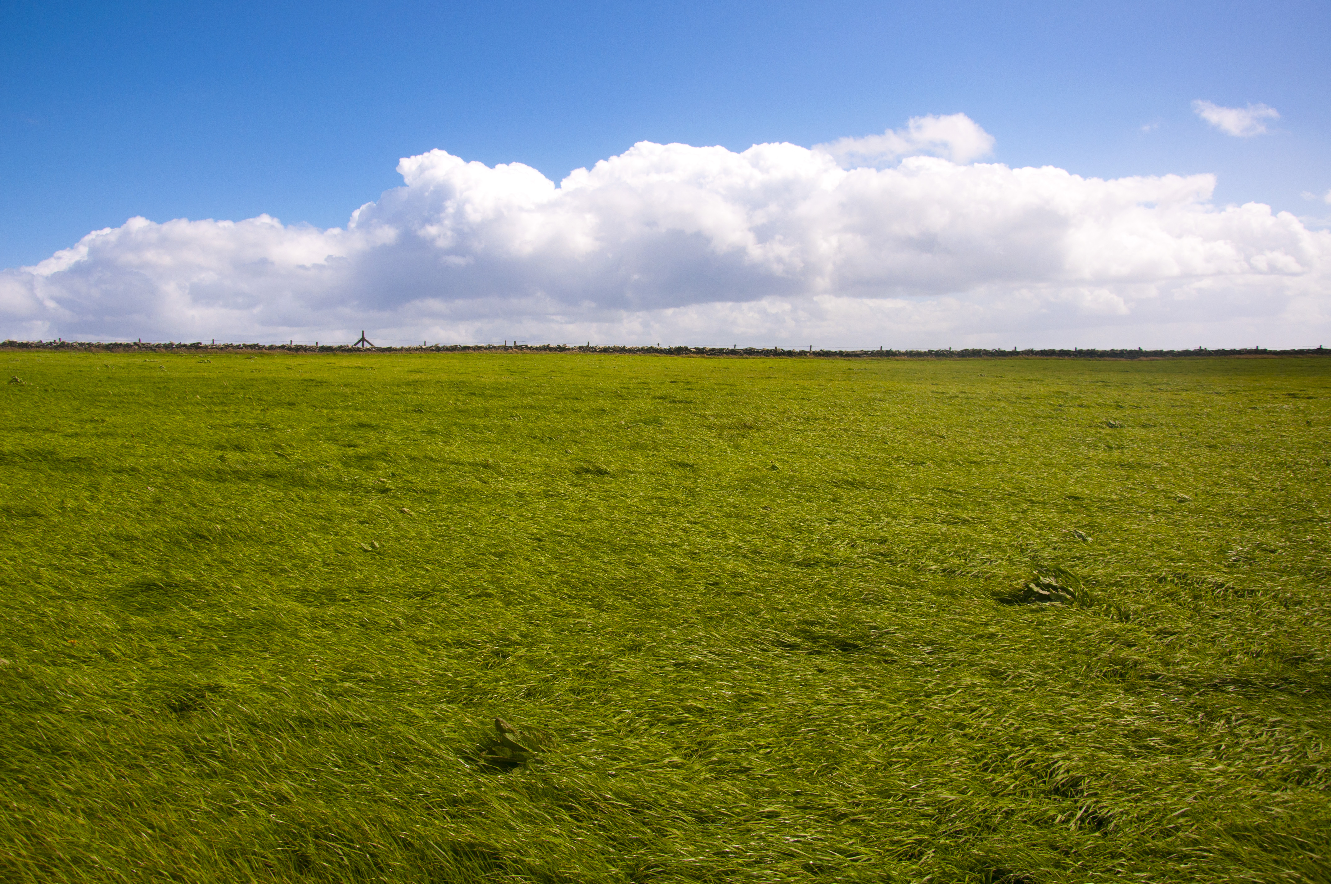
After the Cliffs of Moher we proceeded on to The Burren, another “must see” we were told, following signs that took us on narrow winding roads bordered by thick hedges. We seemed to be going in circles. “Where are we going? How will we know when we get there?” Suddenly a bizarre landscape unfolded from behind the thicket. The Burren (pronounced boireann) is what is known as a “karst” landscape, something neither of us had ever seen before. Its 250 kilometers is composed of limestone pavements separated into rocks and fissures measuring some 250 kilometers in all. Created from the sediments in a tropical sea 350 million years ago, at several points in time the area was completely overrun by glaciers, which denuded the landscape. Today the Burren supports a unique array of plants that peek through the cracks. It is the site of numerous megalithic tombs, the most prominent and well preserved of which is the Poulnabrone Portal Tomb.
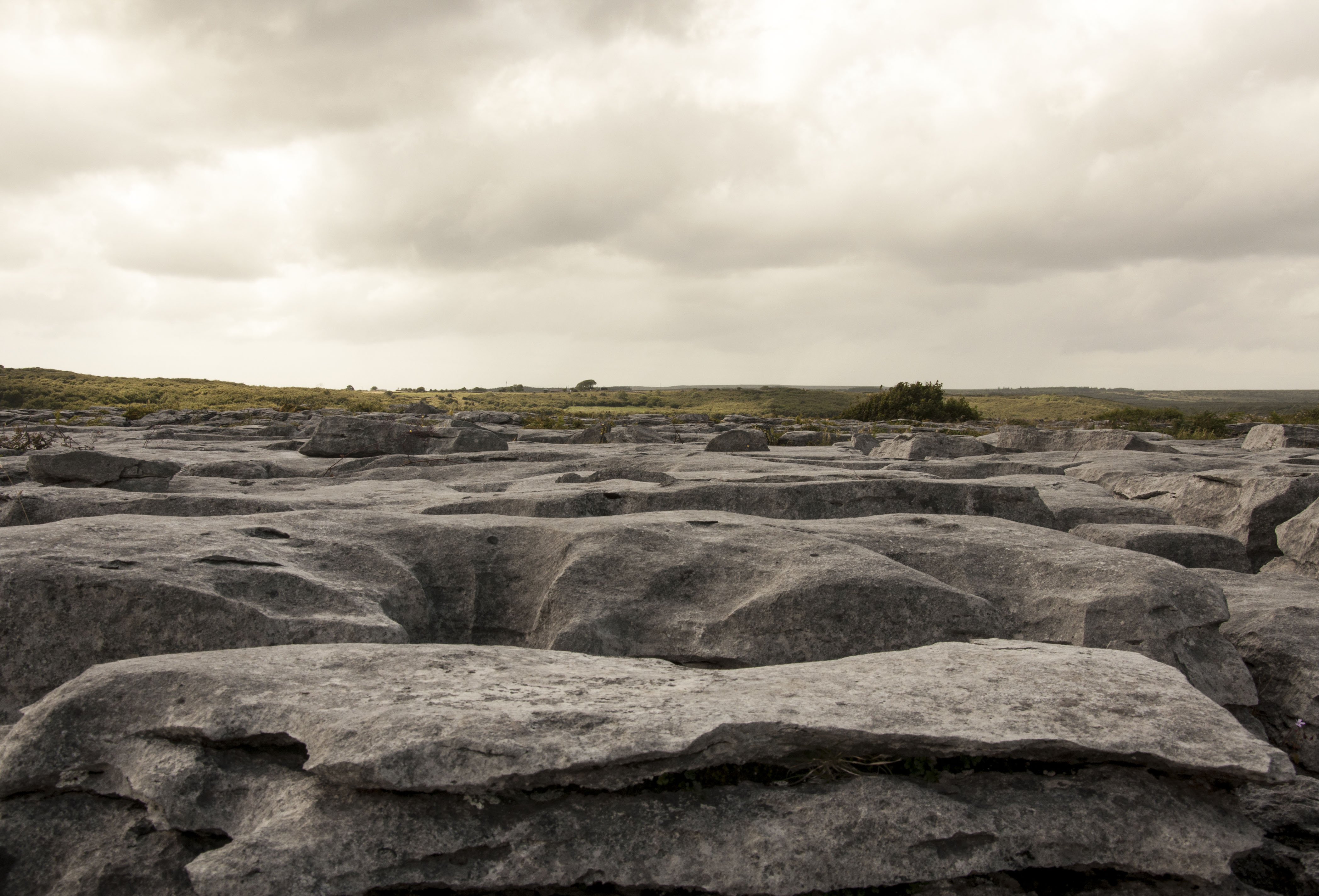
The Karst Landscape of The Burren, County Clare. The cracks are called “grikes” and the rocks are “clints.”
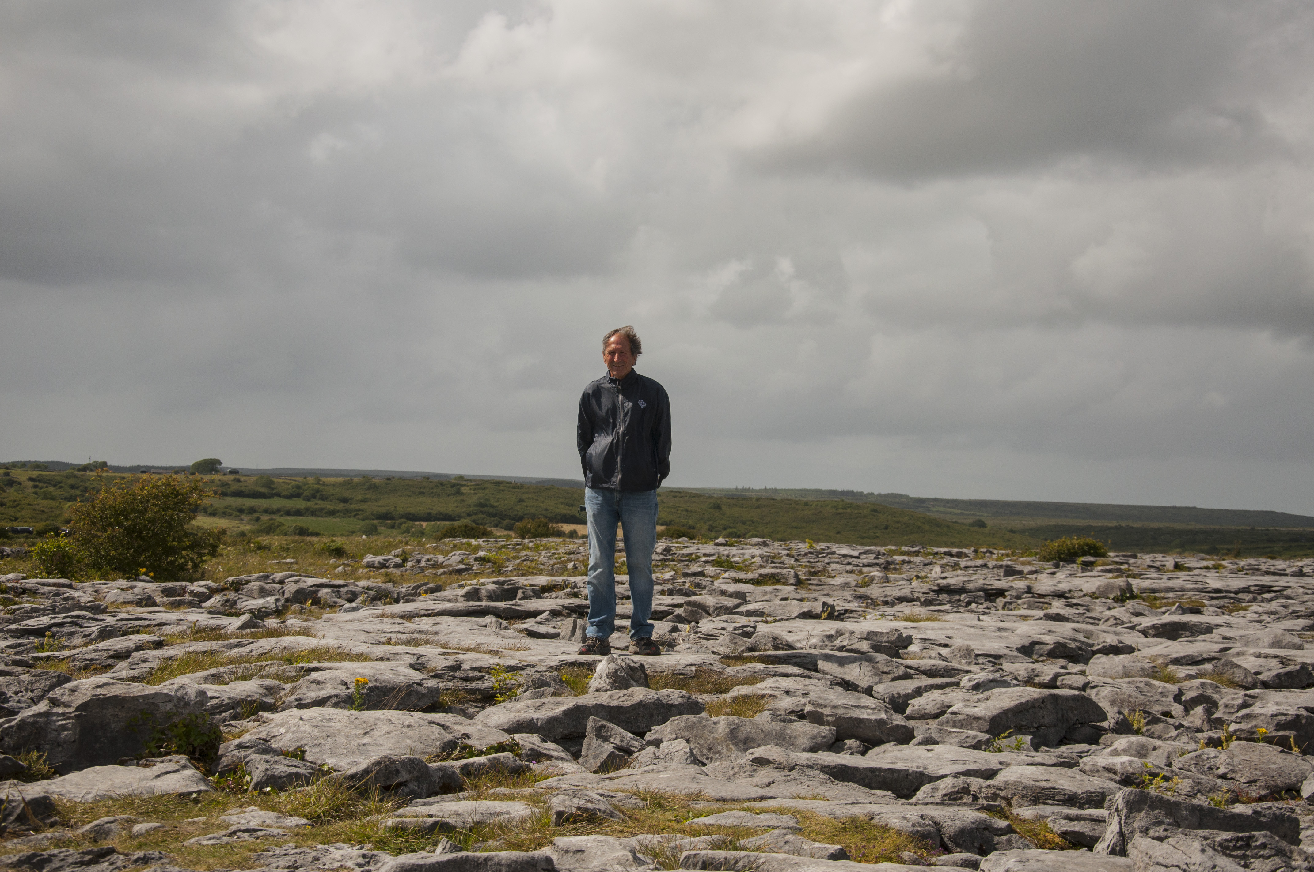
Mitch stands on a clint.
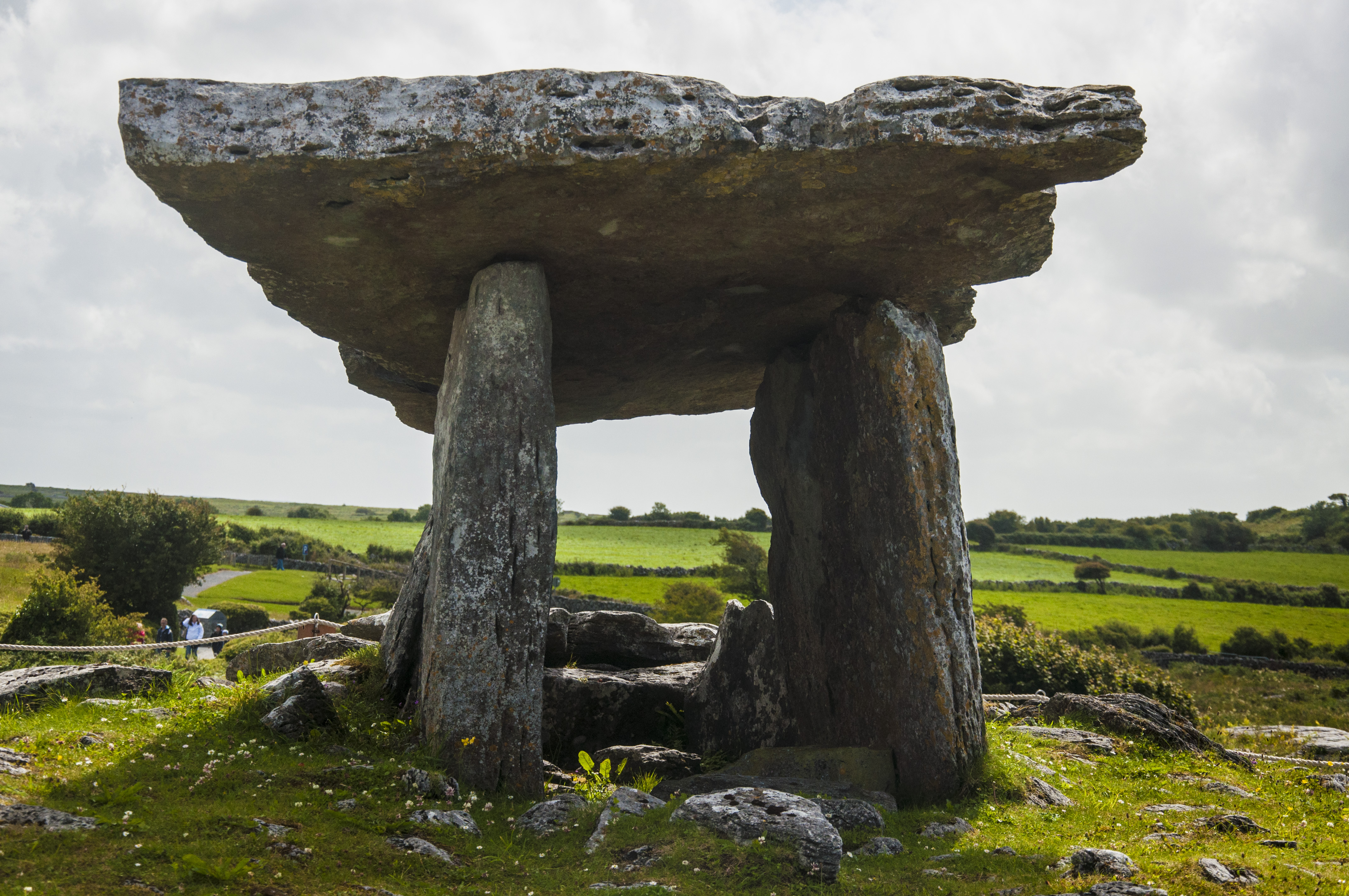
The Poulnabrone Portal Tomb
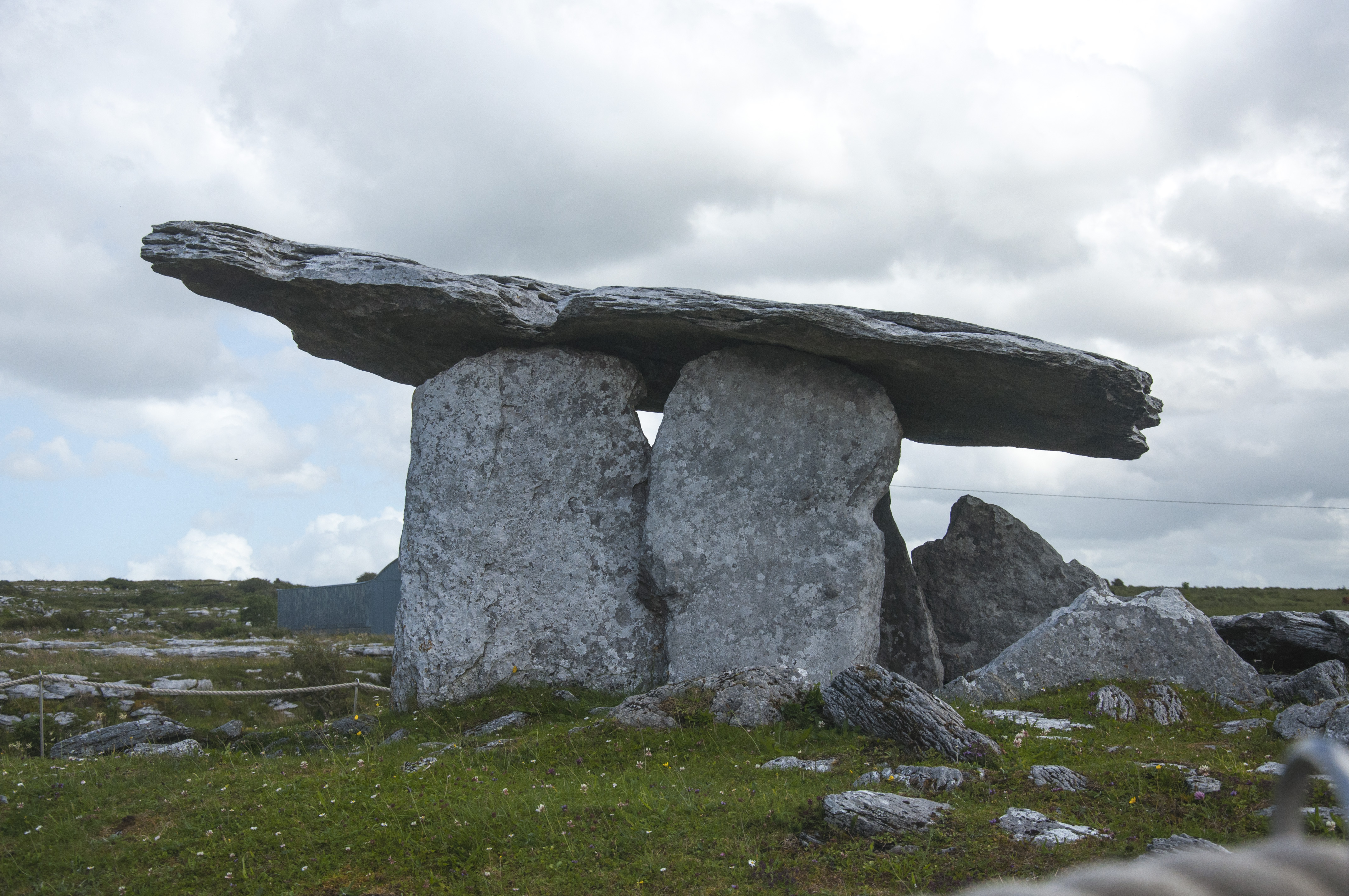
Side view of the Poulnabrone Tomb
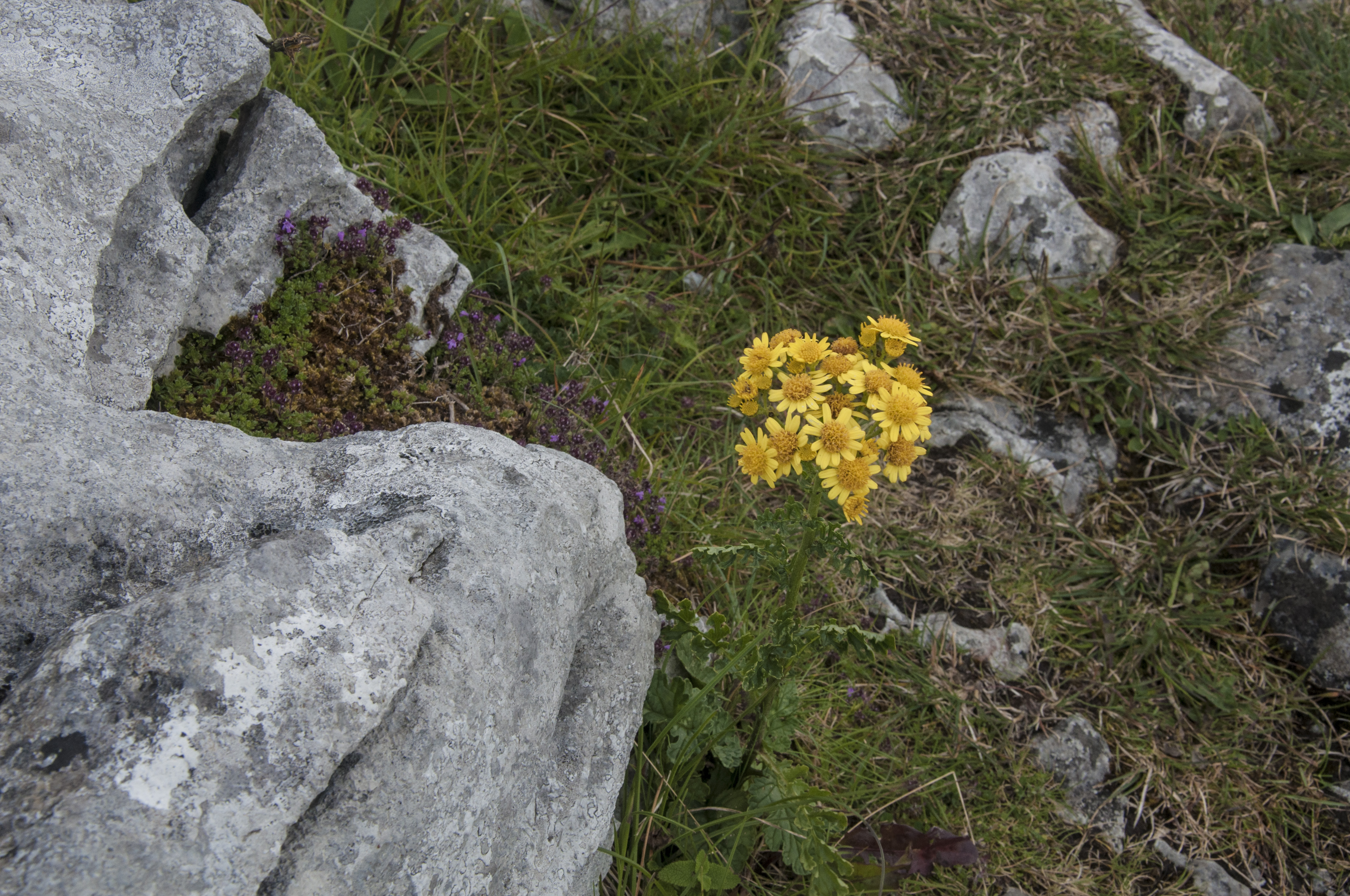
The yellow Calendine is abundant.
Nearby grazing land owes its richness to the limestone content in the soil which people say accounts for the richness in the dairy products and adds to the general good health of the livestock.
On the trip back to Quin we stopped at a small church cemetery to look at Irish crosses and an old burial mound.

Killinaboy Parish Church with above ground barrow grave.
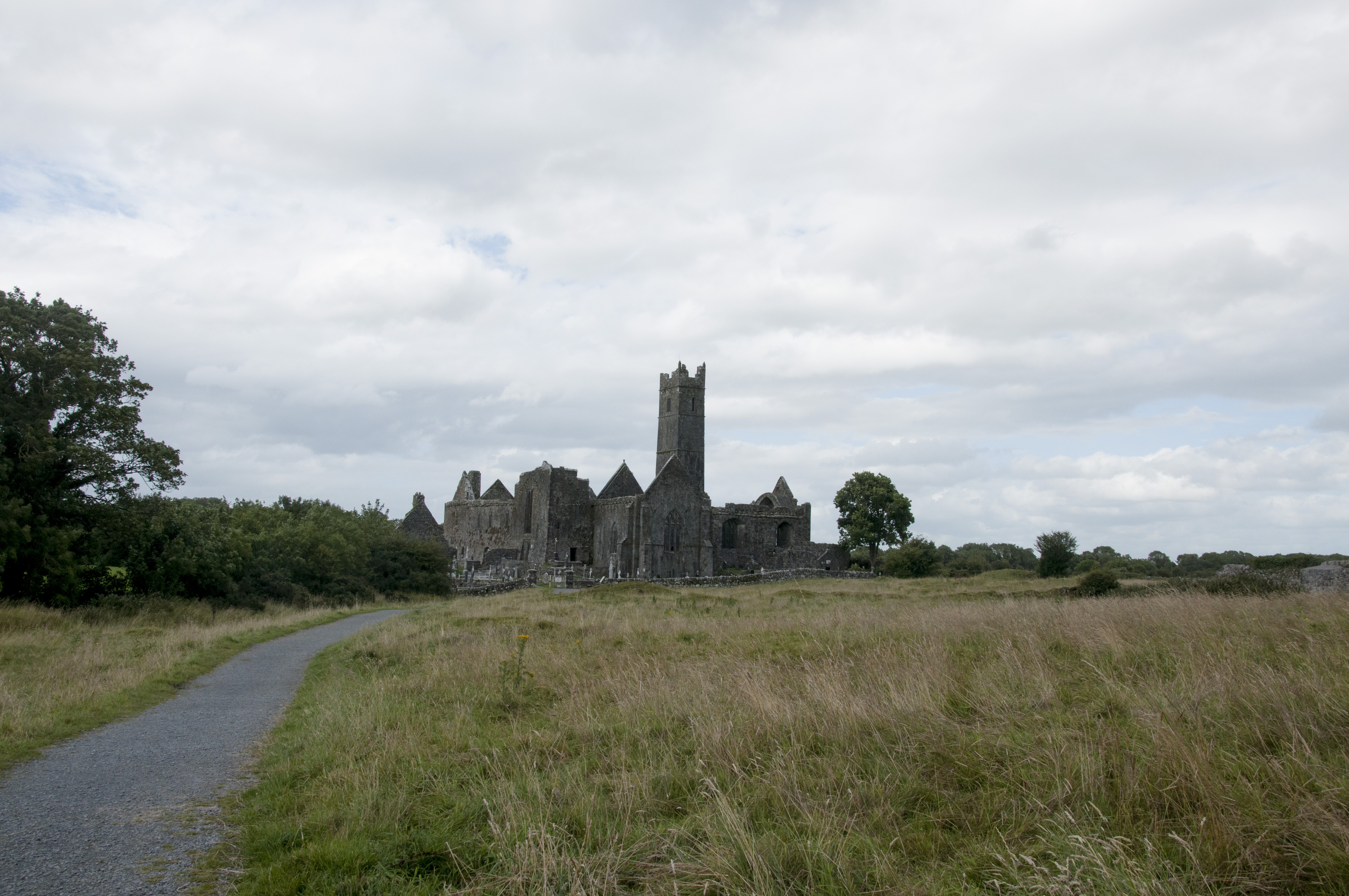
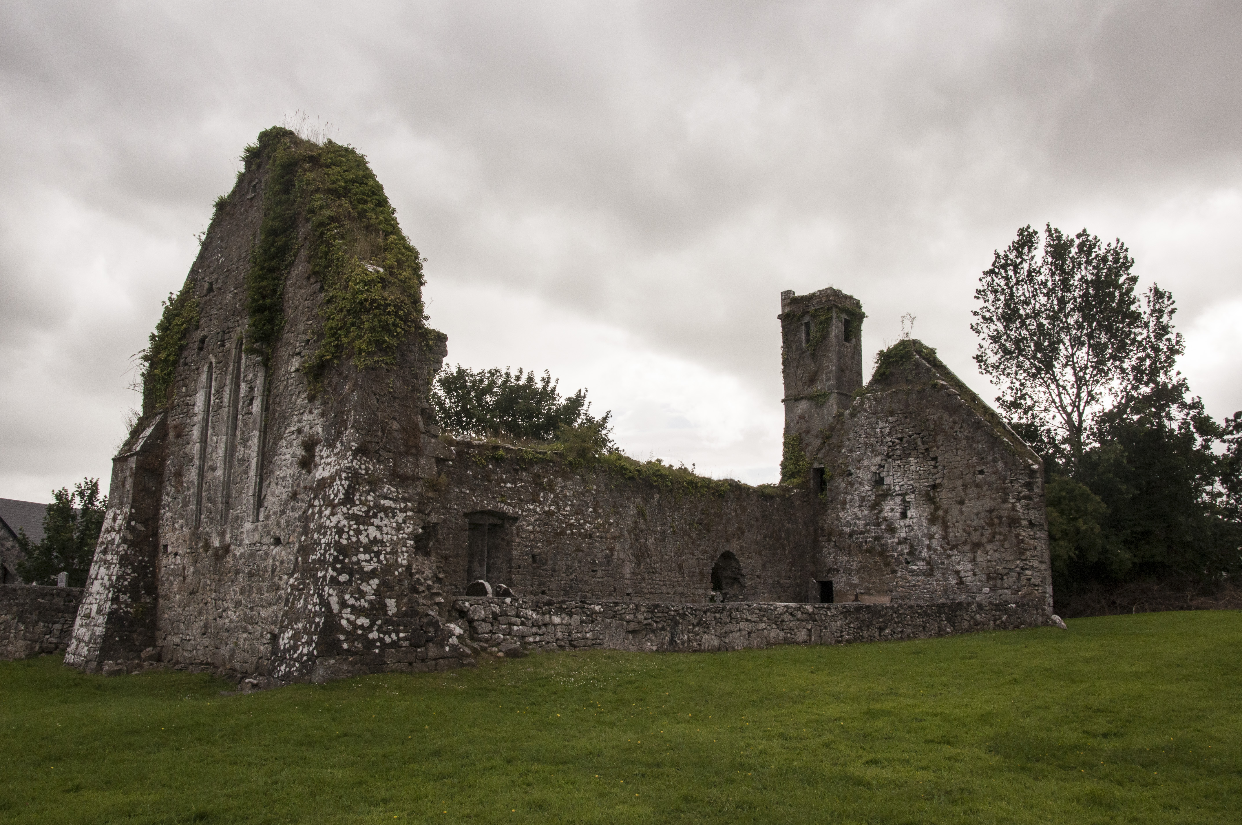
Later in the evening we explored Quin Abbey, a short distance from our B&B. The Abbey was originally a part of a castle built in the late 13th Century by Thomas de Clare and later turned in a Franciscan friary in the 1420’s by the ruling McNamara clan.
Quin Abbey Monastery
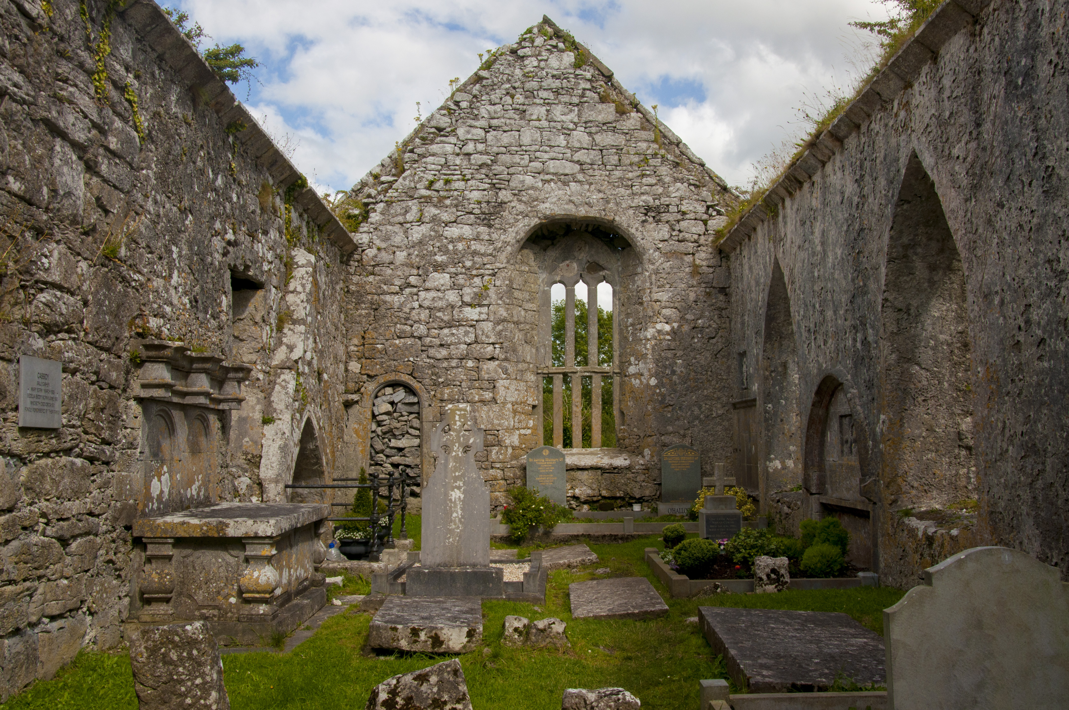
Once the interior of Quin Abbey
Remains of Quin Abbey Chapel

You must be logged in to post a comment.